
Hinkley Bathymetric Survey
Hinkley Bathymetric Survey
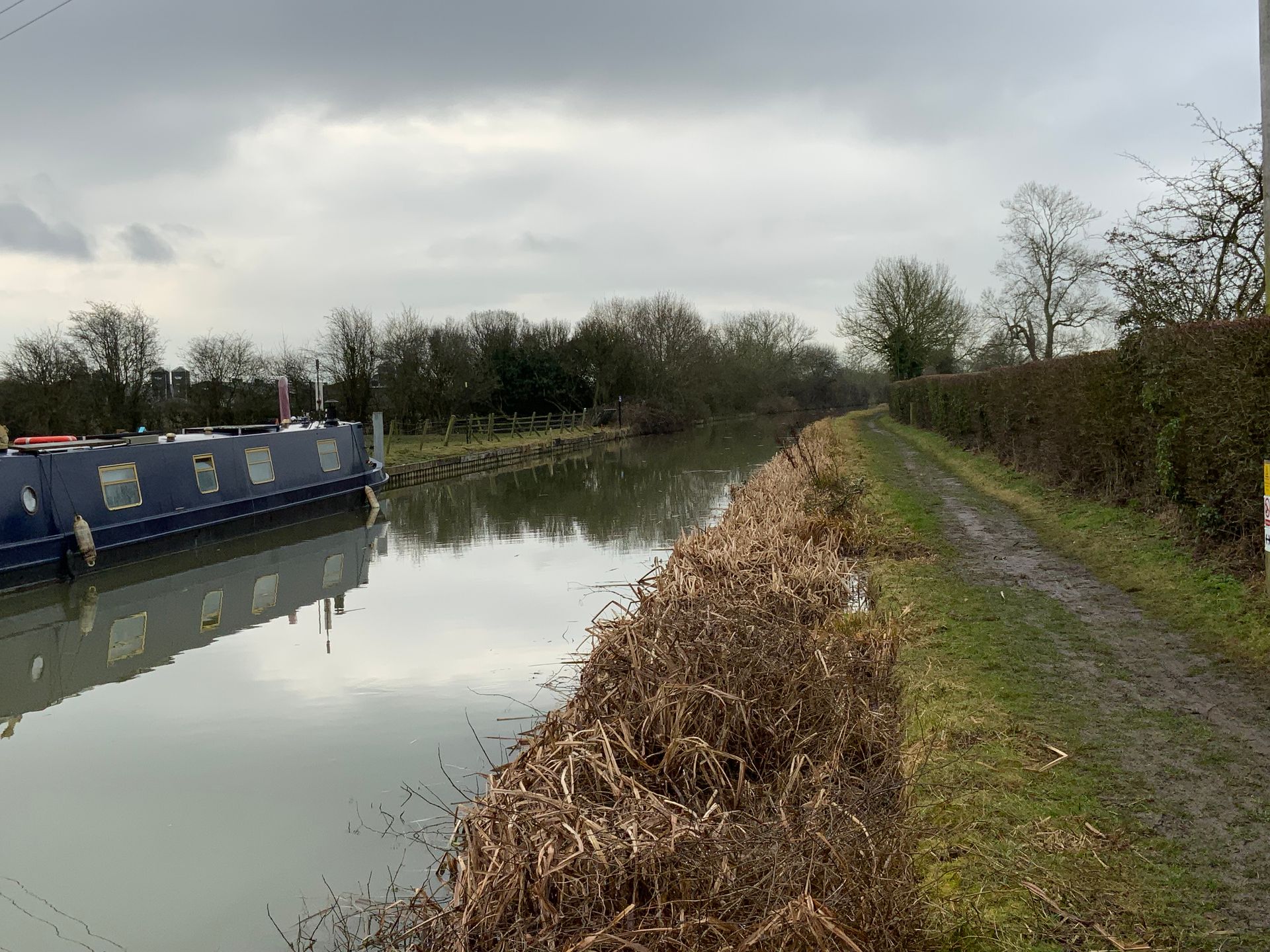
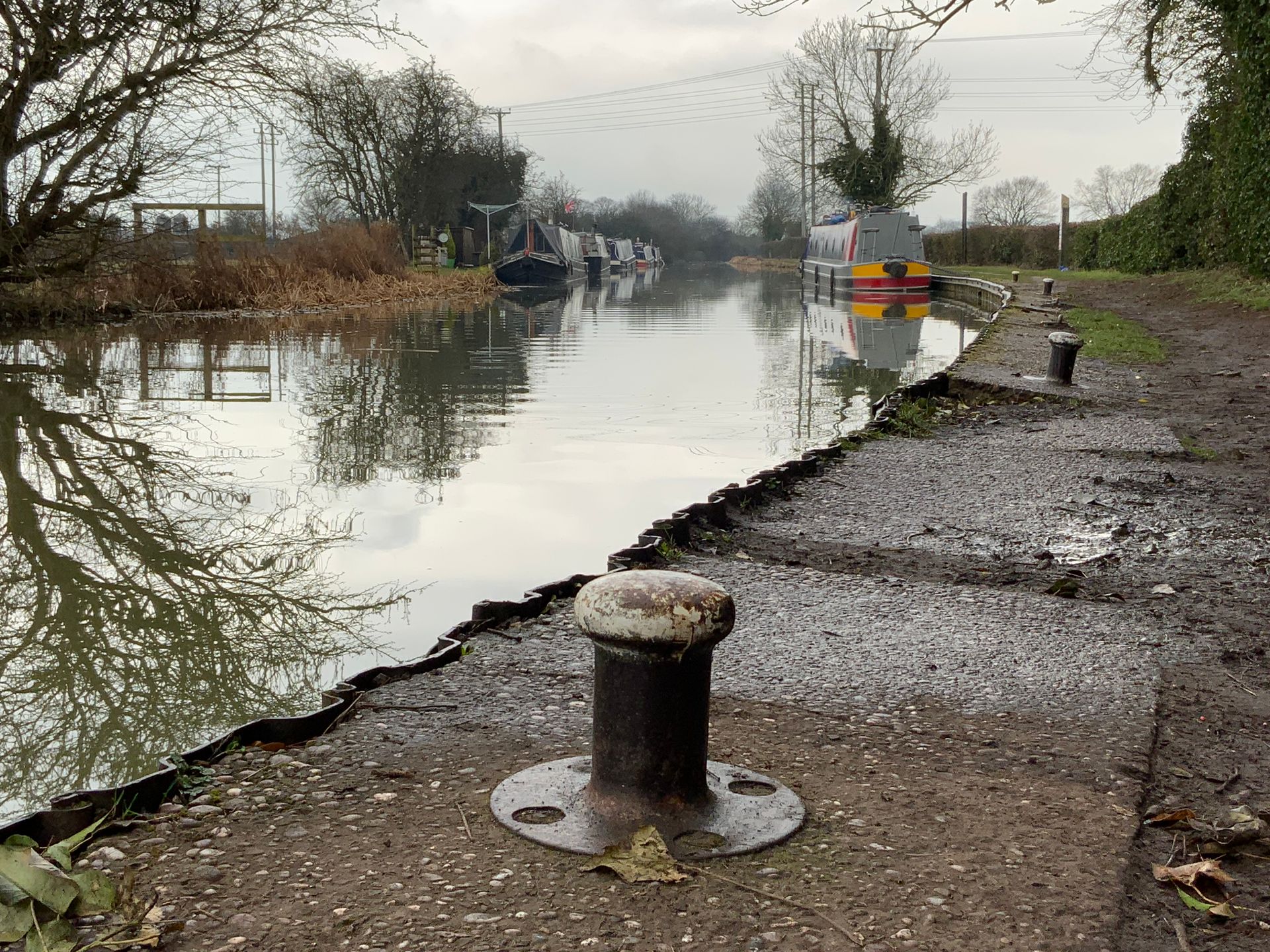
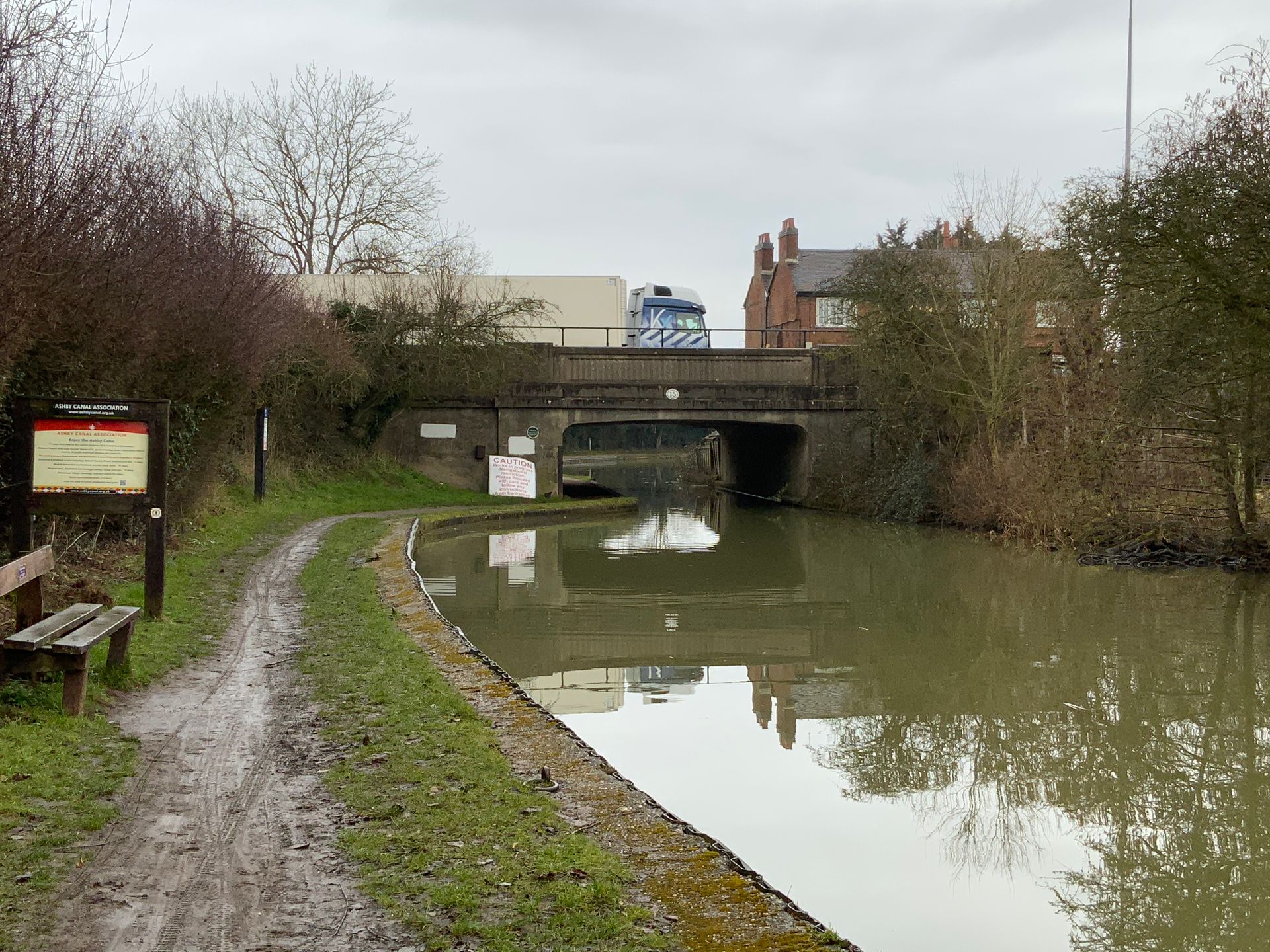
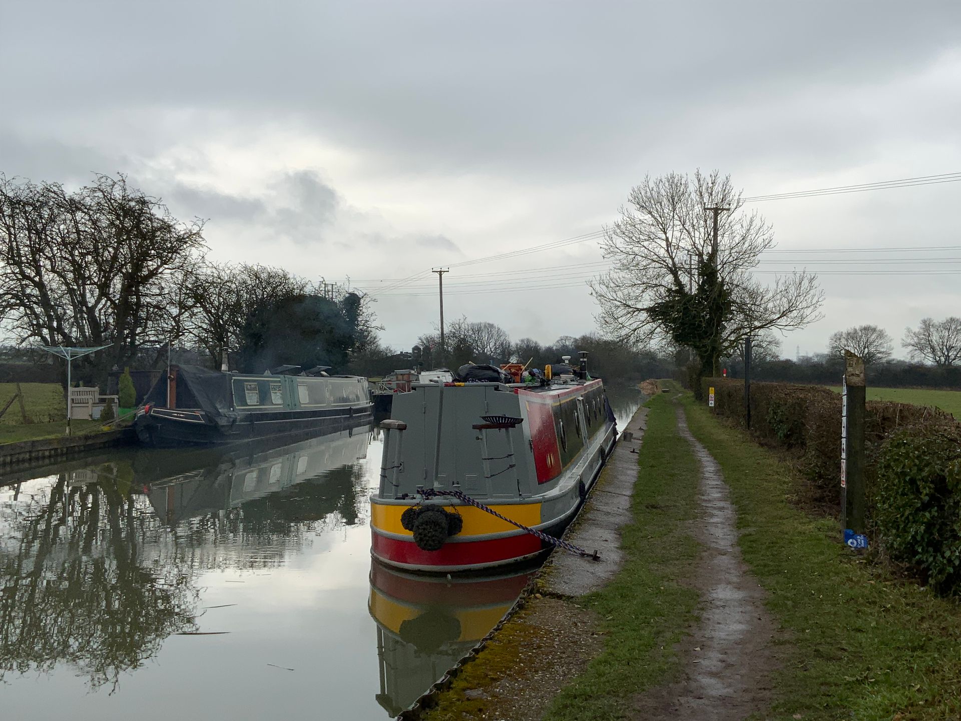


The Ashby-de-la-Zouch canal runs north to south along the dock in Hinkley, which the proposed Hinkley to Hartshill pipeline would need to avoid.
The construction plan was to design a trenchless crossing underneath the canal, so a bathymetric survey was requested from J Murphy & Sons Ltd.
CTS began to research the most accurate and practical method, finding useful information from an online news article of the canal being drained in the past. At the time this was for a collapse in the footpath, but it allowed us to understand the canal’s structure and to what specification our survey equipment would need to be.
After investigation, the Hydrographic-Solution was the ideal device for this kind of survey.
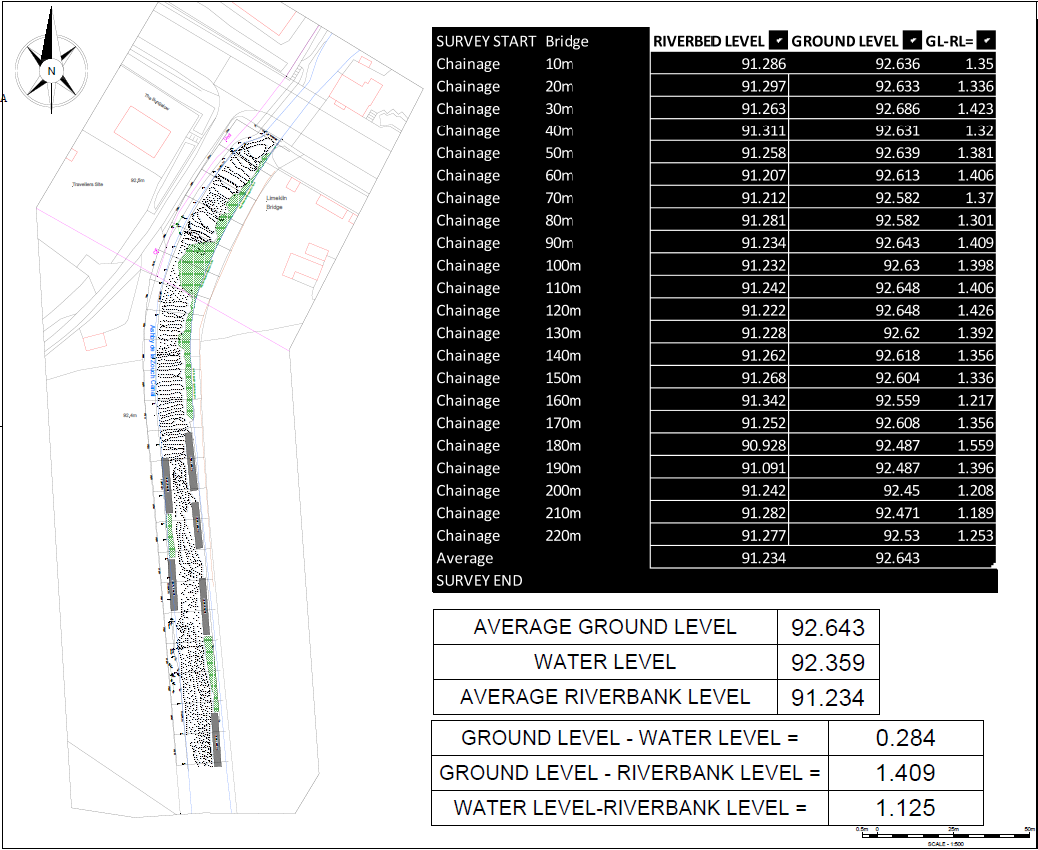
The Hydrographic-Solution is a small, rugged, and lightweight vessel which is controlled via an RF remote. It holds a fitted GPS device which automatically collects levels to OS national grid. Our surveyors manoeuvred along the canal to survey a complete grid of levels including ground, water, and riverbank levels.
Back in the office, we portrayed the data in a suitable table format and calculated average ground levels. Alongside photos in a report this was delivered to the client for them to design their trenchless crossing.

© Copyright CTS Ltd. 2023